INTRO
REGION
LINKS
SHOPS
EVENTS
|
|
HOME INTRO |
VISIT REGION |
MEDIA LINKS |
TOUR SHOPS |
NEWS EVENTS |
|---|---|---|---|---|---|
Off the Tourist Line 1960-1990 | |||||
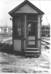 On the west end of Mount Union
this scale house is near the
Harbison Walker Brick Plant. It serviced standard gauge track only. (RN)
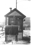 Here's the east end of the scale house looking toward Jacks Narrows. (RN)
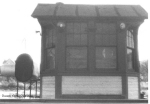 The north side of the building, with a bay window facing the scale. (RN)
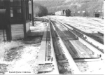 Here's the scale itself. Note the two rails on each side, one on the
scale beam and the other not. It is not dual gauge track. In the
background a Pennsylvania RR GM switcher moves cars around. Today there
are only two tracks here. In the right background a Pennsy train is
passing on the main. (RN)
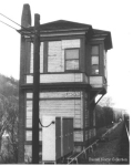 Jacks tower represented the end of the old main through Mount Union
where it connected to the new 1907 main. There were and still are
crossover tracks here as well. The tower is still in service at this
shot. It has long since been demolished. (RN)
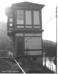 The opposite, east end of the tower provided entry. To the right the
waters of the Juniata River can be seen. The signal bridge in the
distance and the one in the previous photo are still in service and
so far still use Pennsy style signals. (RN)
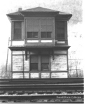 The tower is dwarfed by its namesake mountain in the background. (RN)
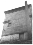 The river side of the tower, as taken from down the embankment
toward the river. (RN)
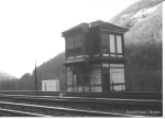 A 3/4 view of the tower. On the mountain in the background are the
Harbison Walker workings taking ganister out of Jacks Mountain. (RN)
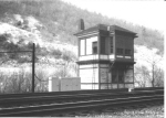 Another 3/4 view. Again on the mountain, the crosshatched tram
lines of the quarry are visible. (RN)
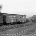 At the north end of the Mount Union Yard
are about a dozen surplus US Army Transportation Corps box cars. Kovalchick
Salvage reportedly purchased them in the early 1960's and stored some here
and some at their own yard. After purchase they were found to be unusable,
possibly because of cast iron wheels. (WSW)
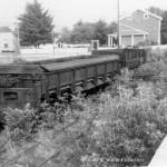 The two air dump cars, #12 and #13, were used to haul
boney from the Coal Plant.
They still stand today as they were in this mid 1960's photo. (WSW)
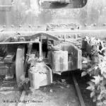 Here is a closeup of one of the dump car's dual couplers. (WSW)
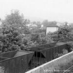 Hoppers remain parked in place since the railroad closed. The
Mount Union Tankhouse in the background
has since been burned. The trees are relatively low in this mid 1960's photo
as compared with today. (WSW)
 This is the Trestle
in Mount Union used to load boney into highway
trucks for use as fill. Note there are more hoppers atop it than
there are now. (RCS)
 This is the Refuse Dump where
boney and coal was dumped into road vehicles.
 This is the much longer
Boney Trestle which was in front of the other loading
area. (RN)
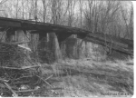 At the north end of the yard near the
Enginehouse,
this is the Local Delivery Trestle
where coal for local vendors was delivered into road vehicles. (RN)
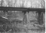 Another shot of the same trestle. (RN)
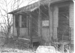 This is the Mount Union Yard Office
looking worse for the years. This is the side facing the
Enginehouse. (RN)
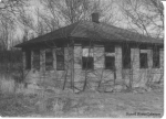 This is the other side of the office, viewed from what is now the northwest
corner of the McDonalds parking lot. (RN)
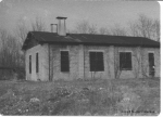 This is the south side of the Enginehouse
from what is now the Community State Bank location. The local trestle is
just visible to the left of it. (RN)
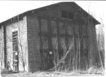 The boarded-up front of the Enginehouse. (RN)
 A side photo from the same angle. (RN)
 Here we see the insides of the Coal
Transfer Plant after the abortive attempt to scrap it in the
mid-70's. These are the two conveyors that brought coal up from the
dumping pits and into the plant. This is the northwest end of the
plant. (RN)
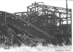 Looking into the plant from the west, the Chance Coal Cleaner is
dead center. To the lower right is the boiler and the smoke stack
for the plant. (RN)
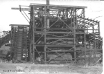 This is the same part of the plant as seen from the south. The
boiler is clearly visible. (RN)
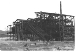 From the southwest, the overall plant. You can just see the screening
and loading area in the rear just left of the main structure. (RN)
 The Aughwick Creek Bridge,
a few years younger and with less spalling. (RCS)
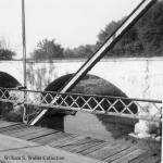 The first major cracks are showing in
Aughwick Bridge. The steel road bridge from the common carrier era is still
in place. Date is the mid 1960's. (WSW)
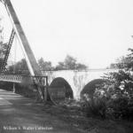 Here is a shot of the north end of
Aughwick Bridge, also from the mid 1960's. (WSW)
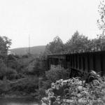 Pogue Bridge. Note the
high school in the left distance. Date is likely 1962-64 area. (WSW)
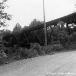 Another shot of Pogue Bridge, this time from the
late 1960's. (WSW)
 Saltillo Station in 1984.
Notice the post on the roof for the train signal is
still in place, unlike today. (RCS)
 The Saltillo Tankhouse
stands derelict in 1983. (RCS)
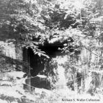 This is the north concrete lined portal of
Sideling Hill Tunnel.
This was the only one of the three portals with doors where the door
was left down. The door has since rusted away, but the mechanism remains. (WSW)
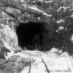 The south portal of Sideling Hill Tunnel.
Mid 1960's. Brrrr. (WSW)
 This is the south unlined portal of
Sideling Hill Tunnel.
This 1974 shot predates some of the big rockfalls here.
"We met a teenager coming out of the tunnel. 'Shortcut home' was the answer". (RCS)
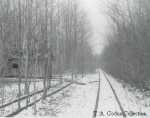 The Kimmel sidings and section
house in December 1974. (TAC)
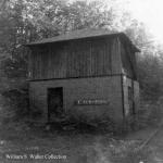 Coles Tankhouse in the 60's.
Note the station sign on the tankhouse, more evidence that the Coles station was
removed before the end of operations. (WSW)
 South portal of Wray's Hill Tunnel.
The tunnel door, still up in this photo,
has since fallen. Date is the late 1960's. (WSW)
 The old Rockhill Iron and Coal Company Offices in
Robertsdale now serve as the post office. (RCS)
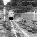 Rockhill Coal Mine #9 was likely still in
operation when this photo was taken in the mid 1960's. (WSW)
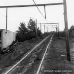 Turning around and looking the other way at #9,
we see the track extending toward the trestle. Mid 1960's. (WSW)
|
HOME |
The East Broad Top Railroad Homepage © 1994-2003 Christopher D. Coleman All rights reserved Site Information Top of this page |
|---|