
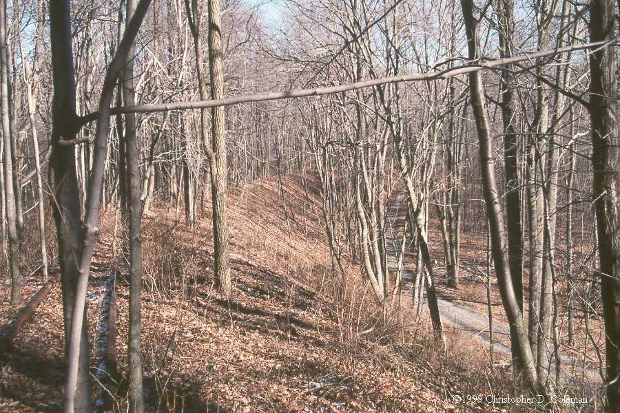
Mile Mark: 24.40
Elevation: 1370'
Date Built: 1874
Published Photos: EBT 99, 159
This mini-horseshoe curve was also known as Mule Shoe Curve. It is very similar to its larger counterpart in the PRR. The railroad climbed to the highest point in the Coles Valley between Sideling Hill and Wrays Hill and reversed direction in one great sweeping curve.
From here you can branch off to the Coles Valley Branch.
Back to Coles Section House |
Click on an image to see larger version | Forward to Wrays Hill Tunnel |
||
|---|---|---|---|---|
| Up to Coles | ||||
| Up to EBT: Saltillo to Cooks | ||||
| Tour Entry | Tour Index | Tour Info | ||