INTRO
REGION
LINKS
SHOPS
EVENTS
|
|
HOME INTRO |
VISIT REGION |
MEDIA LINKS |
TOUR SHOPS |
NEWS EVENTS |
|---|---|---|---|---|---|
FEBT Spring Exploration 2000 | |||||
< Back to the EBTRR Homepage
< Back to the EBTRR Multimedia Archive
Page Contents:
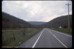 From west of Waterfall PA, Sideling Hill Gap looms further to the west.
The EBT had considered taking its tracks through here and into the Coles Valley
beyond. Through the gap is seen the high plateau of Broad Top Mountain,
the goal of the EBT and an imposing edifice from this side. As a result
the EBT penetrated Sideling Hill at
Morelands Gap several miles north.
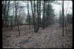 Atop Broad Top Mountain in
Woodvale, the grade of the branch to
Rockhill Iron and Coal mines #7 and #8 can be seen veering off
to the left. To the right is one of the EBT sidings that service
the truck dumps in Woodvale.
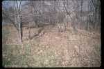 On the other side of the road and tracks, this depression marks
the location of the small depot
that once served the town. There
are no known photos of the building itself.
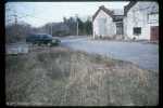 Across the tracks from the station site this more pronounced depression
is the filled in remains of RI&C mine #6,
known as 'The Shaft'. A
headframe would have towered about 70' above the shaft when it was in
operation, with the buildings in the background providing the power
for the machinery.
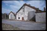 At the #6 mine site, these support buildings provided the power to
operate the mine. To the right is the
Engine House and to the left the
Dynamo House. Behind them is the
Boiler House which supplied the needed steam for the engine and
to the Machine Shop across the road.
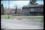 In Robertsdale some rail was taken up to allow the new municipal water
lines to be laid to the old Rockhill
Iron and Coal Company Office. The
rail was then relaid but not rebolted.
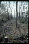 In Adams, which is now no more
than a siding on the EBT, the Mount Union
Connecting is hard at work reversing 40 years of vegetation on the EBT
tracks.
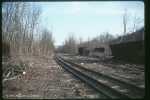 In the Mount Union
yard MTC has fully cleared the passing siding near
the Timber Transfer site.
A continued glint on the standard gauge
rails shows the periodic use of the MTC hi-railer on the line.
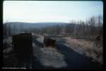 The evening sun, still peeking over Jacks Mountain, highlights
the many hoppers at rest in Mount Union.
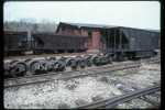 Near the south end of the Rockhill
Furnace Yard, one of the earliest hoppers,
since converted to side discharge, stands beside the arch-bar trucks of
one of its sisters from Mount Union and the Denver and Rio Grande trucks
from under the Aughwick coach.
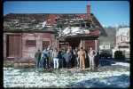 After Saturday morning the weather changed dramatically, from sunny 60s
to wet 40s making picture taking risky if possible at all.
Then Saturday night the snow came in. Sunday morning the
faithful of the Exploration gang gathered for a group photo in front of
the Saltillo Station.
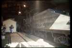 At Mount Union
the group gets a chance to look over EBT #3 slumbering
in the enginehouse. To the left is the MTC office.
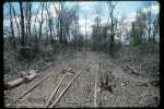 About two miles south of Mount Union
is Adams, the site of the
northernmost passing siding. This was the extent of the clearing
at the time of this photo. This is the north end of the siding.
 Just north of Shirleysburg
this bridge carries the EBT main across
Fort Run, named after Fort Shirley a revolutionary era frontier fort
nearby. This is the only steel bridge between the operating EBT and
Mount Union.
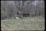 Just south of the bridge is the
section house, itself just north of
the Shirleysburg Passing Siding
and the station site. The house
seems to be used by the adjacent landowner for storage.
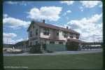 The 'other' side of Orbisonia Station
has seen a few changes since
the railroad hauled coal. The lean-to that now houses the public
restrooms was originally the freight loading platform. The concrete
and railing to the left was also added in the 1960's.
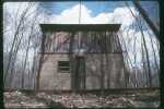 Up close and personal with Coles Tankhouse.
Significantly higher on
the mountain, the brush has not yet sprouted here as it has in
Mount Union.
At least the snow had melted off.
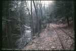 The thaw from the previous night's snowfall rushes down Trough Creek
as the rails of the East Broad Top climb ever higher to the top of the
Broad Top.
|
HOME |
The East Broad Top Railroad Homepage © 1994-2003 Christopher D. Coleman All rights reserved Site Information Top of this page |
|---|